Beautiful vintage Bartholomew's maps make lovely personal gifts. They make great gifts for those hard-to-buy for men in your life!
These gorgeous maps were published in the 1940's, 1950's and 1960's and are extremely collectible. Do you know a map geek? This would make a fabulous present.
These Bartholomew's maps are wonderful for home or office decor and look great framed. Bring back memories of special times with these lovely maps. Family historians and people interested in social history also find these maps fascinating.
The maps are genuine vintage, "previously loved" maps which means they will have some signs of use and age which adds to their charm and character. They are all in good vintage condition and none of the slight imperfections detract from their beauty.
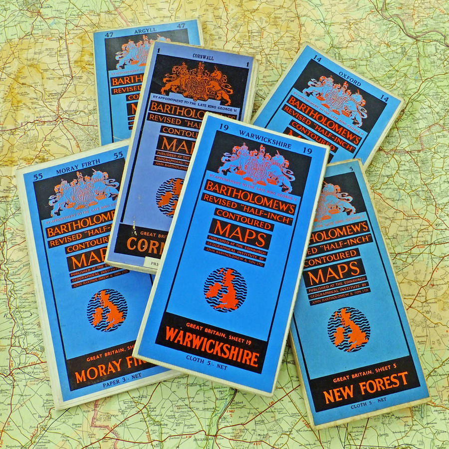
We have a number of Bartholomew's "Revised Half Inch Contoured Map" including -
Galloway - cloth backed map published in 1942 (Sheet 37)
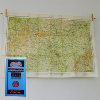
Oxford - a cloth-backed map published in 1961. (Sheet 14)
Argyll - a cloth-backed map published in May 1953. (Sheet 47)
Moray Firth - a paper map published in 1961. (Sheet 55)
Warwickshire - a cloth-backed map published in 1962. (Sheet 19)
Fenland - a cloth-backed map published in June 1951. (Sheet 25)
North Shropshire - a cloth-backed map published in April 1953. (Sheet 23)
Herts & Bucks - a cloth-backed map published in July 1946. (Sheet 15)
Suffolk - cloth backed map published in 1960 (Sheet 21)
Tweeddale (Scottish Borders) - cloth backed map published in 1959 (Sheet 41)
We have a large number of Bartholomew's maps. If you'd like a map covering a different area that is not included in this listing, please do get in touch as we may have one available.


