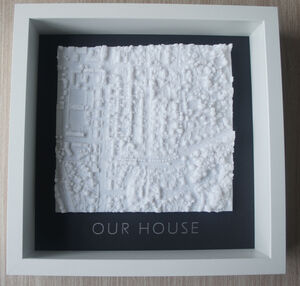
Custom 3D Printed Map
£50
Estimated deliveryTue 14th · Free
Showing 34 products
£50
Estimated deliveryTue 14th · Free
£40
Estimated deliverySat 11th · Free
£40
Estimated deliveryMon 13th · Free
£40
Estimated deliverySat 11th · Free
£155
Estimated deliveryWed 15th · Free
£50
Estimated deliverySat 11th · Free
£40
Estimated deliverySat 11th · Free
£40
Estimated deliverySat 11th · Free
£30
Estimated deliveryMon 13th · Free
£30
Estimated deliveryMon 13th · Free
£30
Estimated deliveryMon 13th · Free
£19.50
Estimated deliverySat 11th · Free
Viewed 34 of 34 products
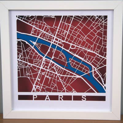
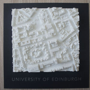
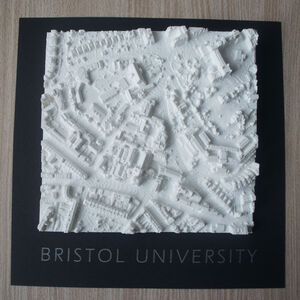
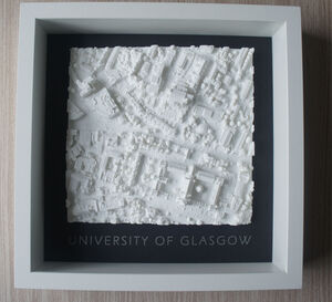
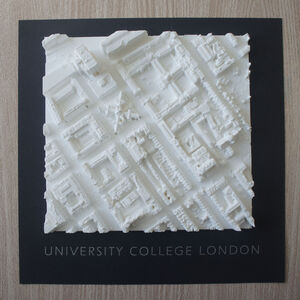
LocalOutlines was started when I was preparing a screen print of Bristol for my daughter and I realised that the separations I had created for each layer of the print could instead be laser cut. The important thing about roads is that they join up to form a spiders web that connects together and can be cut out. Once cut I mounted the cut out roads at the front of a deep frame to give a shadow effect. The result was a success and LocalOutlines was created with what I call shadow maps. The base data is generated from Openstreetmap® and manipulated and processed in Inkscape to get vectors for cutting on a laser cutter.
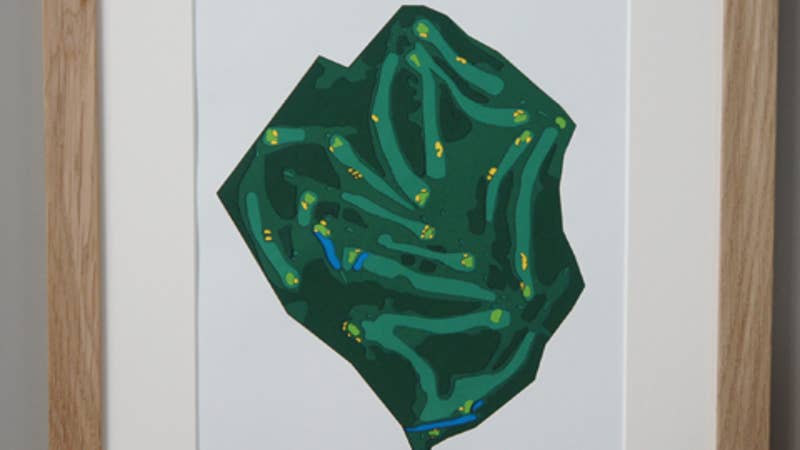
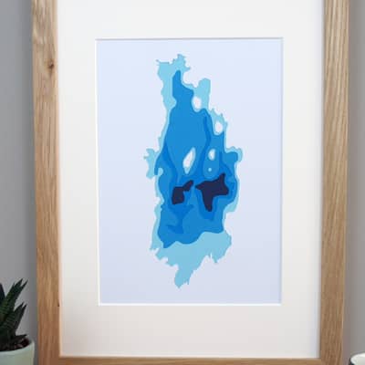
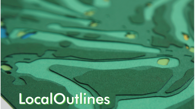
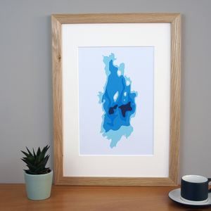
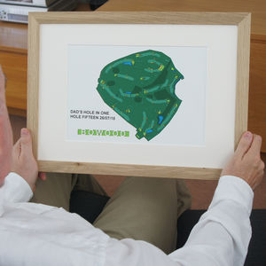
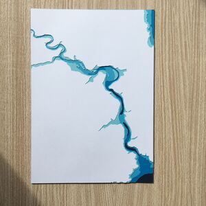
Our latest products are cut outs of golf courses and lakes in the Lake District, these are cut from various layers of colored card and laid on top of each other to produce a 3D topographic effect. The starting point for the golf courses are satellite images, a lot of processing then goes into separating the different elements to be able to produce vectors for laser cutting. For the Lakes I use bathymetric data to produce the contours.