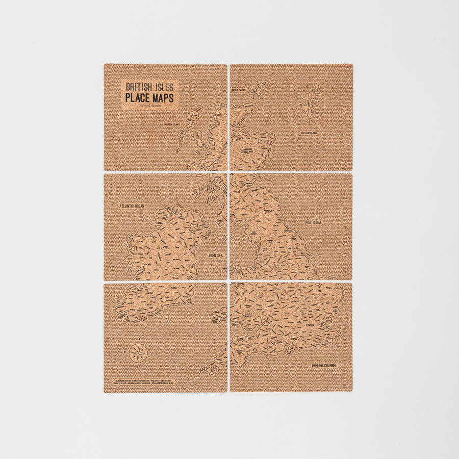
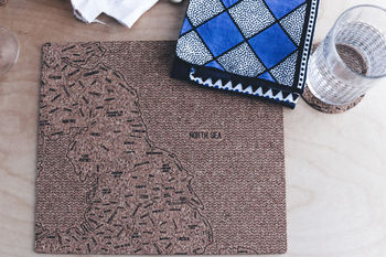
Cork British Isles Place Mats

- Sold by JollySmith
- From North Yorkshire, GB
- 4.7/5 (220 Brand reviews)
£20
Get 10% off £40+ with ends in
- Made with care in Britain
0 Product reviews
We are…
Price match promise
Find it cheaper elsewhere* and we’ll match the difference
Now that’s reason to smile!
*key competitors only. T&Cs apply19
Years as a much-loved UK retailer
And over 1.3 million 5-star product ratings
5000+
UK small brands
Curated by us, loved by you


