No longer available
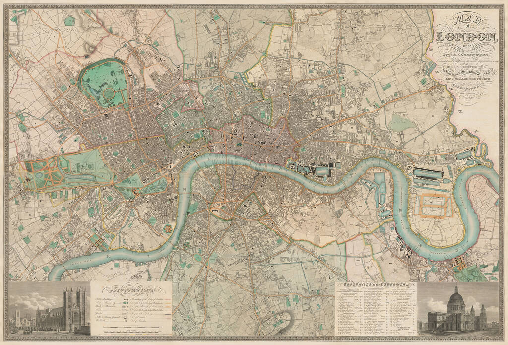
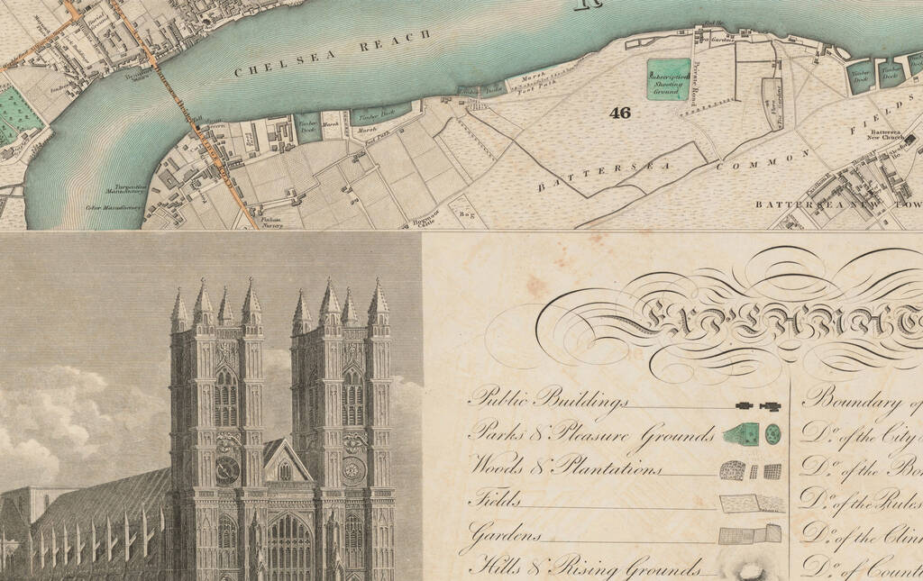
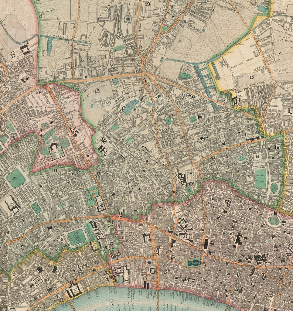
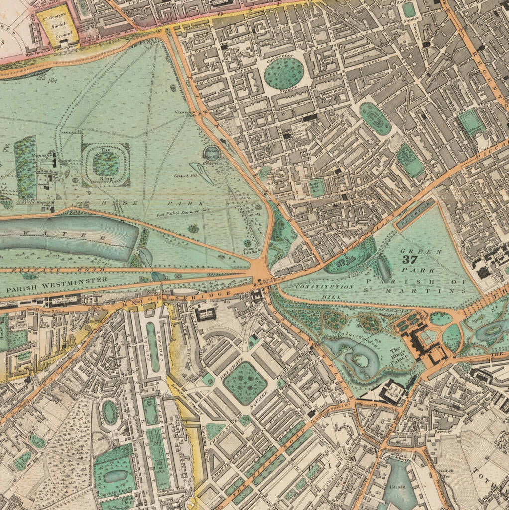
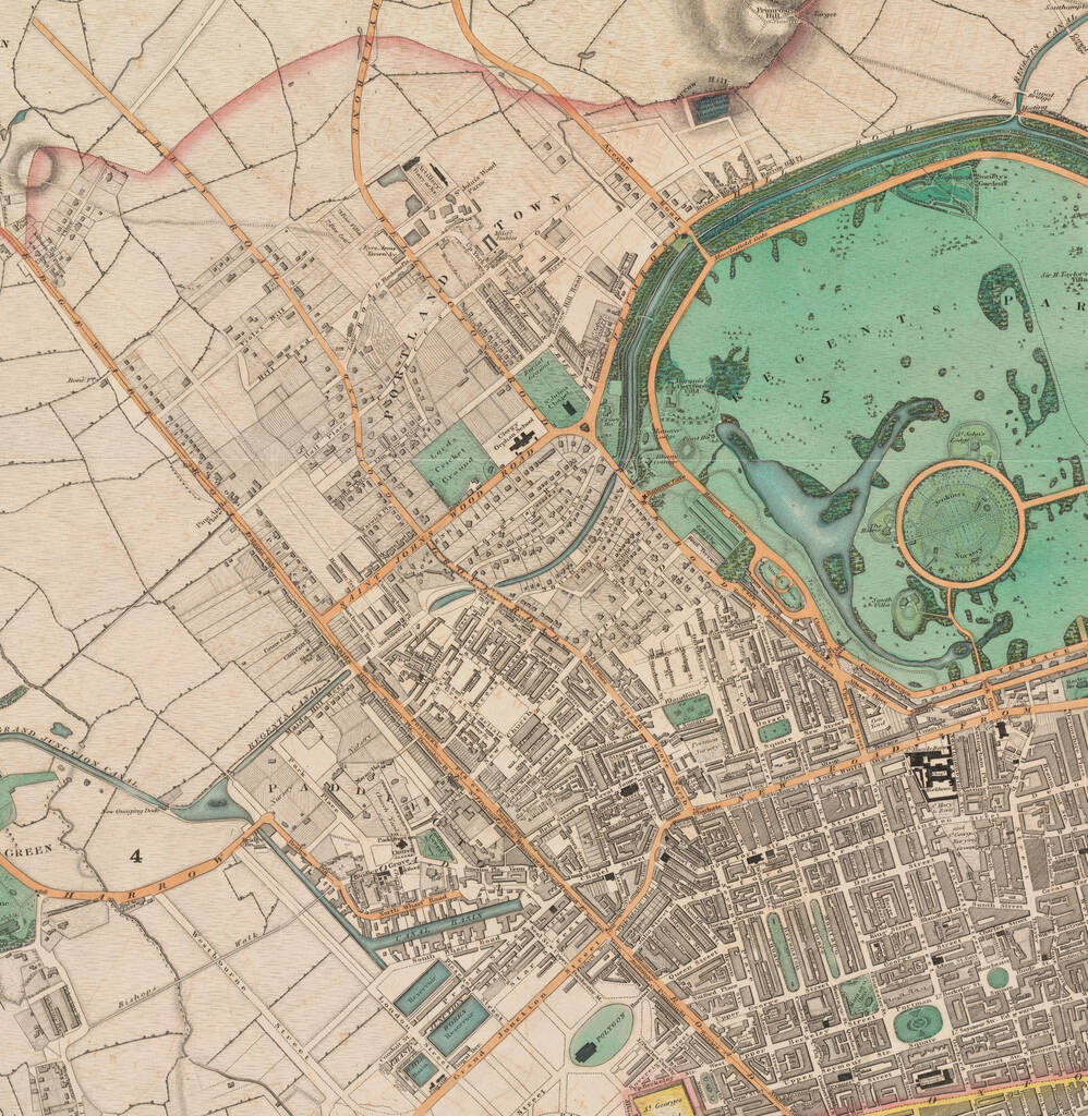
Personalised C And J Greenwood 1830 Old Map Of London
The Unique Maps Co.£240
Sorry, this item is no longer available
Create your own custom, unique version of one of the finest old, colour maps of London: C & J Greenwood's 1830 Map of London.
Customer reviews
Sorry, there are no reviews for this product yet.
Returns
You have 28 days, from receipt of cancellable goods, to notify the seller if you wish to cancel your order or exchange an item.
Please note: goods that are personalised, bespoke or made-to-order to your specific requirements, perishable products and personal items sold with a hygiene seal (cosmetics, underwear) in instances where the seal is broken are non-refundable, unless faulty.