Product description
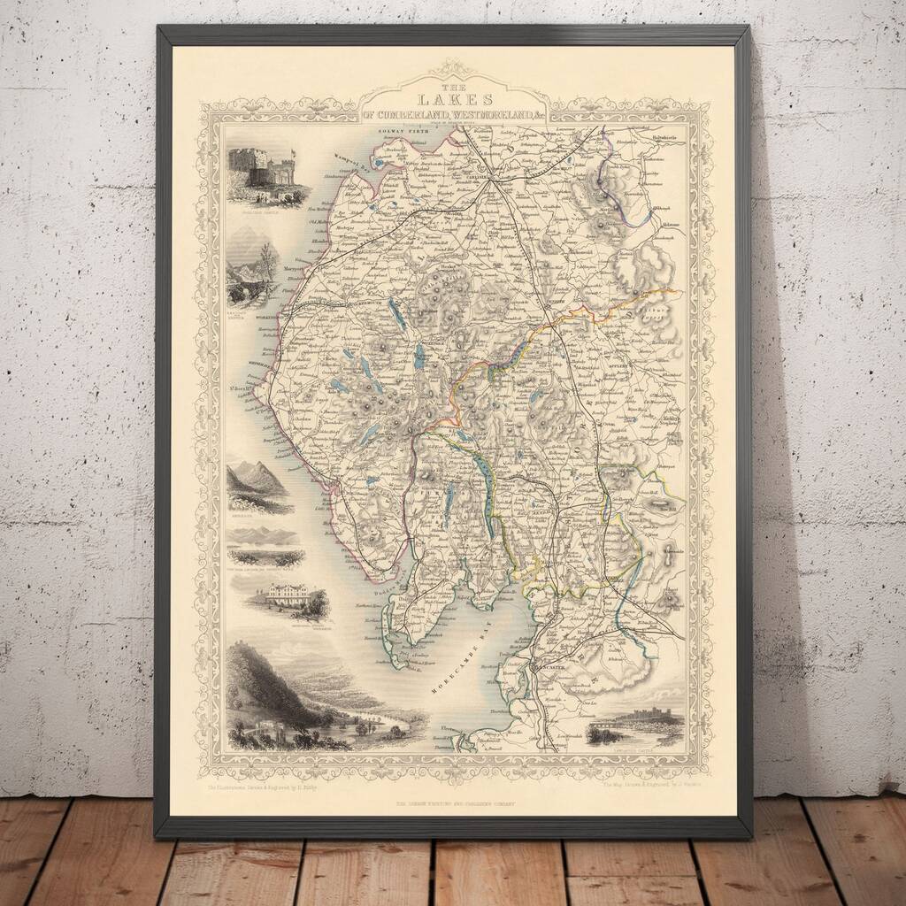
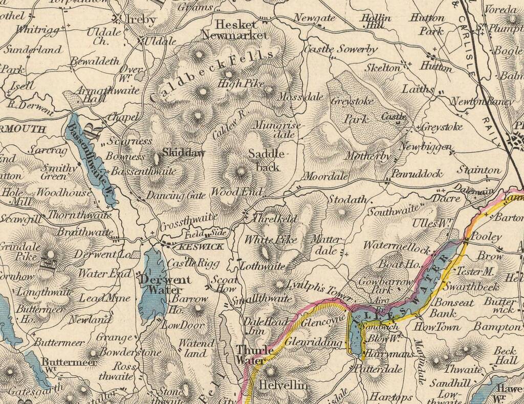
Engraved by Rapkin and published by Tallis & Co in 1851, this is one of the finest detailed historic maps of the Lakes District.
This beautiful region of England used to be split between Cumberland (Cumbria), Westmorland (which no longer exists) and Lancashire. Today it's situated just in Cumbria in the northwest of England.Around the edges of the map are detailed engravings of beautiful vistas from around Lakeland, including a couple of Windermere, Lancaster Castle, Keswick and Carlisle.
Almost all of the towns, villages and cities of the region can be easily seen in this map. And of course, all of the lakes are here, too, handcoloured in a lovely blue.
Variations
Available in the following sizes:
12x16in, 16x20in, 18x24in, 24x36in, 30x40in or 37x50in.
All sizes come framed and ready to hang. Unframed maps are available upon request.
If you order a personalised map, I will get in touch after you order to find out what short message you would like added to your map.
My personalisations perfectly blend into the map and look like they've been there for hundreds of years. This will make your map totally unique.
Dimensions
Total external size, including frame:
12x16in, 16x20in, 18x24in, 24x36in, 30x40in or 37x50in
Made from
My maps are printed on extremely high quality matte paper, with Epson ultrachrome giclée inks. They look and feel just like an old map.
My frames are made from alder, a semi-hardwood that's responsibly sourced from renewable forests.
Product code
1148064